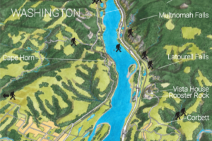
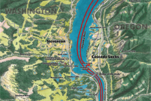
Maps & Wayfinding Systems "Your Journey is created by the path presented before you"
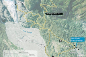
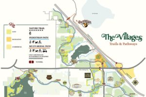
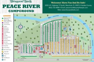
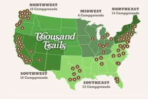
Designing maps and wayfinding systems that allow people to explore the world around them in an accessible way is our true passion. All our other services are complimentary to the one thing we want to do. Create amazing journeys for people that are fully accessible! A Map is no longer that huge fold in your glove box! Wayfinding systems create pathways for people to take. Do you want to direct more people to an out of the way place? How about direct them away from over used public spaces? We are passionate about helping people explore new places and we truly hope you allow us to take a look at how we can bring your ideas to reality.
Our solutions range from
Custom map overlays for your website
Mobile tours & Passport apps
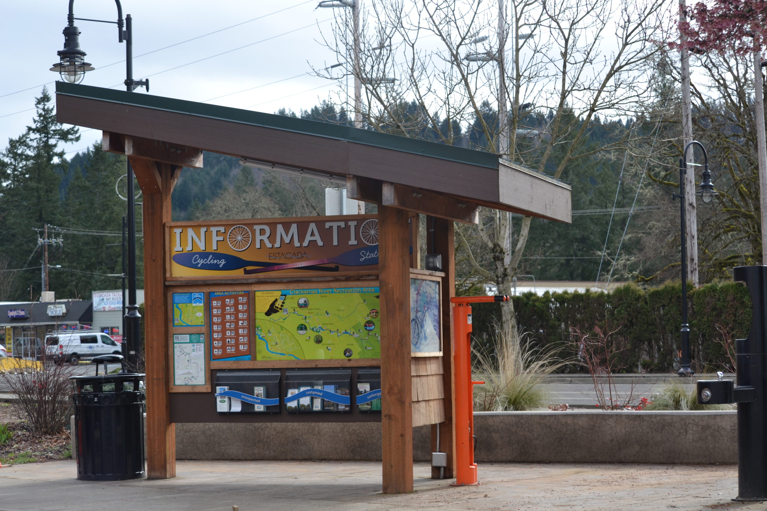
Design of physical wayfinding maps & signage
QR code & NFC accessibility integration
Touch screen digital displays for wayfinding maps
Asset tracking maps with GPS
Map corrections for major online providers
Geocaching or wide area scavenger hunts
Map delivery via RFID tags or public Wi-Fi or SMS
Explorer the world around you
Put your map where your phone is
We create mapping solutions for the mobile world
We work with many providers such as
- Google Maps, MapQuest, Open Maps
- Wikitude Augmented Reality Mobile App
- Map My Fitness/Run/Ride
- Google Earth Tours
- TraffiQR QR Code Generator

Passports that accelerate, gamify, engauge.
The Passportage App is a passport builder that allows you to engage visitors with gamified travel made to accelerate your community. Passportage is built around your brand using your goals. We built Passportage in 2012 to create mural tours for our city of Estacada Oregon. Since then we have added gamification to allow rewards and enhanced exploration within your own app! Best part is you can create your own digital passport totally free to see if you like it!
Designing Accessible Maps for Everyone!
When creating a public wayfinding system it is important to keep preconceived notions at bay. The people that care most about a project know the most and when you know alot about an area you might be short sighted on what a newcomer sees. Using data to create maps is how we turn a simple picture in to a wayfinding system that is intuitive and easy to use by everyone. Accessibility very is important to us and there is alot to think about when trying to make an accessible wayfinding system. Take QR codes, don’t get us wrong we love QR codes, we actually created one of the first QR code creators in back 2012 but almost 90% of the QR codes we see are done incorrectly. QR codes themselves are not accessible and can get you in trouble with actual laws. We like using both NFCs and URLs along with QRs to ensure accessibility in wayfinding. Once someone scans a QR code or taps a NFC hot spot they should get a mobile friendly experience that compliments the maps or wayfinding signage, not mirror it. We can extend your physical map to allow language translations, and give bespoke tours of your location! We love to talk maps so reach out and schedule some time to explore your project!

